
About the Parish
Marhamchurch Civil Parish is located in the north of Cornwall, extending the entire east-west width of the county from the beaches of Widemouth Bay, through a rolling plateau of the Culm Measures, to the Devon parish of Bridgerule in the east. It covers a geographic area of 1137 hectares (4.25 square miles or 2715 acres) and includes a large part of the rivers Neet and Strat. It presently is administered by Cornwall Council and is represented in parliament by the constituency of North Cornwall. There are 662 registered voters on the Marhamchurch electoral register, as at April 2019.
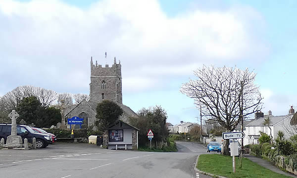
The village is a ridge-top settlement situated about 1.5km (1m) southwest of Bude, just east of the A39 Atlantic Highway, on the line of the old Bude Canal. It is a predominantly rural parish of farming and tourist accommodation. The core of the village has a distinct historic identity and a sense of openness. It was designated a Conservation Area in 1997 by NCDC and its dominant feature is the listed Grade 1 church of St Marwenne. It is believed the name of the parish may originate from the Celtic Saint Marwenne, a 5th Century missionary, who is reputed to have established a hermitage nearby. The church dedicated to her name is visible from many miles around.
In addition to the core village, the parish includes the outlying communities at Titson and part of Widemouth Bay, several major farms, and holiday accommodation businesses. As well as the church, facilities include the primary school, a playing field, the Bray Village hall, the Methodist church and its hall, a pub and a community village shop.
Visit the Cornwall Council website for an interactive map of the Parish
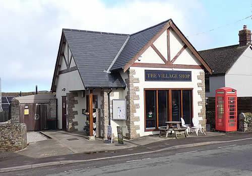
Marhamchurch Village Shop
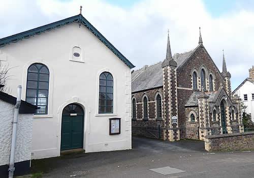
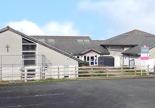
Methodist Church and Marhamchurch Sunday School Rooms
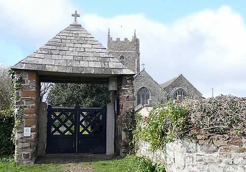
St Marwenne Parish Church Gate
Marhamchurch Church of England Academy School
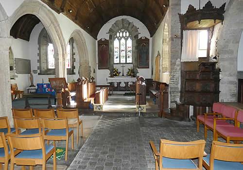
Interior of St Marwenne Parish Church
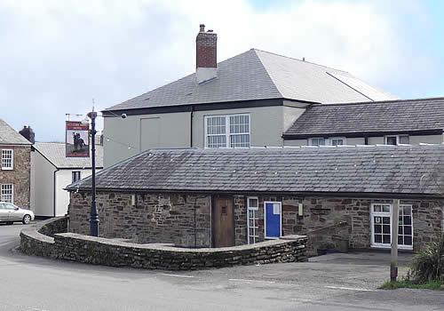
Bullers Arms Hotel
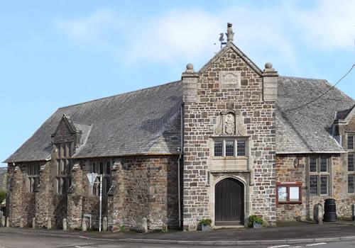
Marhamchurch Village Hall (The Bray)
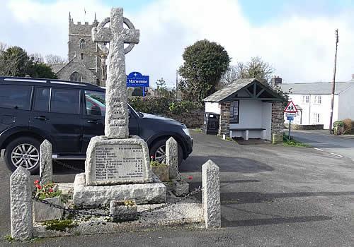
Marhamchurch War Memorial